
For families, moving home is rarely just about finding the right house. The property matters, of course. Bedrooms, garden space, storage, parking, and budget all play a role. But for parents, the bigger question is often what life around that home will look like.
Is there a good school nearby?
Can children walk there safely?
Is the area quiet enough for family life?
Are there parks, clubs, libraries, or sports facilities close by?
Will the school actually be accessible through admissions or catchment rules?
These questions can be just as important as the property itself. A house may look ideal online, but if the surrounding area does not work for family life, the move can quickly become frustrating.
That is why more parents are starting to use local data when choosing where to live.
School choice starts with the area
Schools are often one of the first things parents check when looking for a new home. It is easy to understand why. A good school can shape a child’s routine, friendships, confidence, and future opportunities.
But school choice is not only about finding the nearest highly rated school. In the UK, the reality is more complicated.
The closest school may not be the school a child can attend. Catchment areas, admissions criteria, sibling priority, faith criteria, and local demand can all affect the chances of getting a place. In some areas, a few streets can make a real difference.
Parents also need to think about the daily practicalities. A school that looks close on a map may involve crossing busy roads. A short drive may become difficult during morning traffic. A good secondary school may be reachable by bus, but only if the route is reliable.
The best school decision usually depends on both the school and the area around it.
Looking beyond Ofsted and league tables
Ofsted ratings and performance data can be useful, but they do not tell the whole story. A school is part of a wider local environment.
Parents may want to understand:
- how far the school is from the property;
- whether the route is walkable;
- what local traffic is like at school times;
- whether there are parks or safe outdoor spaces nearby;
- how the surrounding area compares with nearby postcodes;
- whether the area is changing through new development;
- what other schools are available if the first choice is not possible.
A school with strong academic results may still be a poor fit if the commute is stressful or the local area does not support the family’s lifestyle. Equally, a school with a less famous name may be part of a community that works very well for a child.
Data helps parents look beyond reputation and understand the practical reality.
Safety and the journey to school
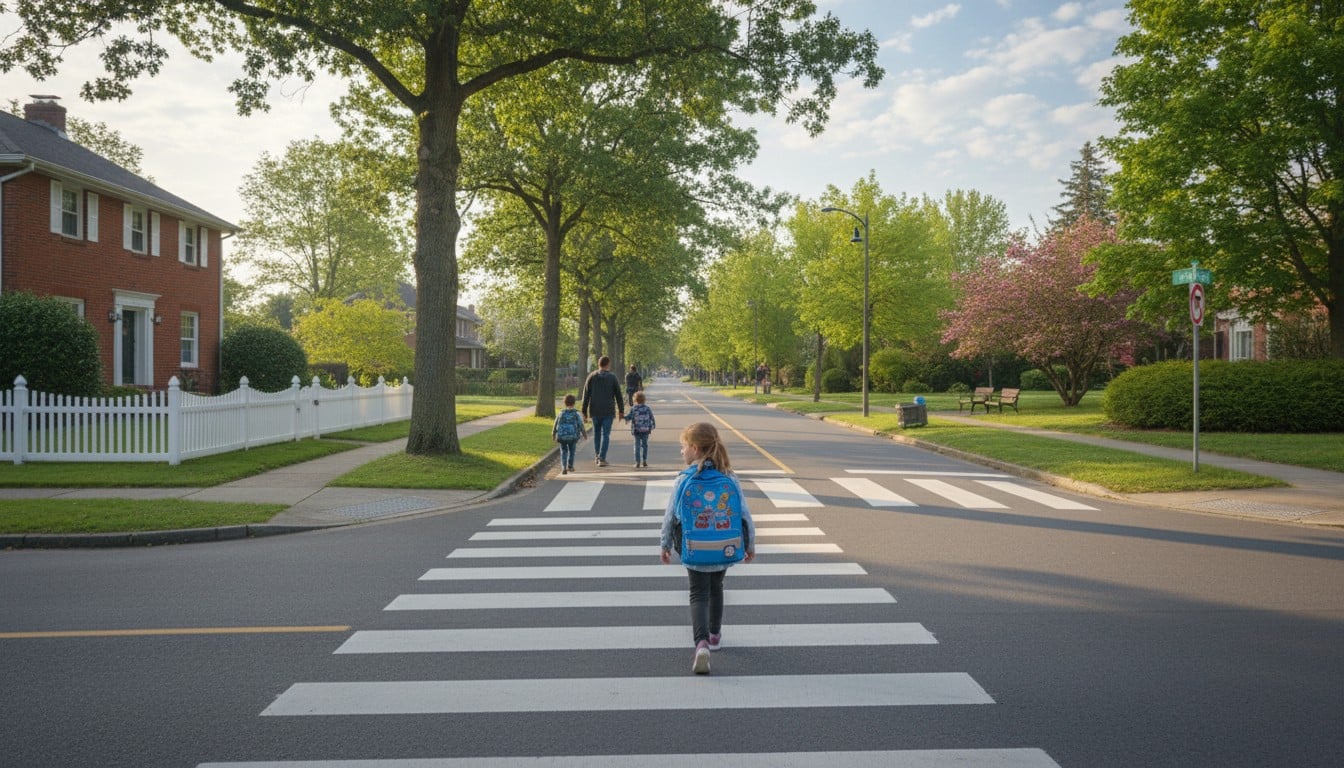
For families, safety is not an abstract statistic. It affects daily routines.
Parents want to know whether children can walk to school, go to the park, visit friends, or use public transport with confidence. This is where local safety data can be useful, especially when combined with a real visit to the area.
Crime figures should always be read with context. Town centres, stations, and busy high streets often show higher numbers than quiet residential streets. That does not automatically mean an area is unsuitable. But it does help parents know where to look more closely.
Useful questions include:
Are incidents concentrated around a particular road, station, or shopping area?
Is the route to school calm and well lit?
Are there safe crossings?
Does the area feel different in the evening?
Are parks and public spaces well maintained?
A family-friendly area is not just one with a good school. It is one where everyday movement feels manageable.
Green space, noise, and well-being
Children’s lives are shaped by more than classrooms. Local parks, playgrounds, sports facilities, libraries, and community spaces all contribute to family well-being.
For younger children, nearby green space can make a big difference to daily life. For older children, access to activities, transport, and safe public spaces becomes more important. For parents working from home, noise and the local environment matter too.
A property near a busy road, railway line, or nightlife area may be less suitable for family life, even if it is close to a good school. Noise is easy to miss during a short viewing, especially if the visit happens during a quiet time of day.
Flood risk is another factor families sometimes overlook. It may affect insurance, long-term security, and resale value. Even if a property looks attractive, environmental risks should be checked before committing.
Planning data can change the picture
Families often move with a long-term view. They may expect to stay in an area for several school years, or even through primary and secondary education.
That makes future local change important.
A quiet site nearby may have planning permission for new homes. A local road may be affected by development. A school may face pressure from population growth. A high street may be improving or losing services.
Planning applications do not always mean bad news. New development can bring better amenities, investment, and improved infrastructure. But parents should know what might be coming before they buy or rent.
A family home is not just a decision for today. It is a decision about the next few years.
Comparing schools and areas together
The strongest decisions come from looking at schools and local area data together, not separately.
Parents can start by shortlisting homes based on budget and location. Then they can compare nearby schools, journey times, local safety, green space, noise, flood risk, and planning activity. After that, they can visit the area at different times of day and test whether the data matches the real experience.
This is where tools that compare school and local area data can help. Platforms offering this type of service aggregate UK postcode-level data on schools, safety, property context, flood risk, noise, income, and local quality to help families better understand the area around a potential home.
The aim is not to reduce family life to numbers. No dataset can tell a parent exactly where their child will be happiest. But data can reveal things that are easy to miss during a viewing.
It can show whether an area deserves a closer look.
It can highlight questions to ask before making an offer.
It can help compare two similar homes in different postcodes.
It can reduce the chance of moving somewhere that does not fit.

A better way to choose where to live
For parents, the right move is usually a balance of property, school, and place.
A beautiful house may not be enough if the school journey is difficult. A highly rated school may not be enough if the surrounding area does not suit family life. A cheaper home may be a good opportunity, but only if the wider local picture makes sense.
The best family moves are made with both instinct and evidence.
Parents still need to visit the street, speak to local people, walk the school route, and imagine ordinary daily life there. But before making such an important decision, it is worth checking what the local data says.
A home is where family life happens.
The area around it helps shape that life every day.

