
Ground Penetrating Radar (GPR) has emerged as one of the most powerful tools for subsurface exploration. Used across a wide range of industries—from archaeology and construction to military and environmental studies—GPR technology has undergone significant advancements recently. These innovations have dramatically improved the clarity, speed, and accuracy of ground imaging, making modern GPR systems far more efficient than their predecessors.
This article explores the sophisticated technologies that power today’s GPR systems, from the components that make them effective to the revolutionary software that brings raw data to life.

How GPR Technology Reveals the Subsurface
Ground Penetrating Radar works by emitting high-frequency electromagnetic pulses into the ground. When these pulses encounter different materials—such as soil, rock, water, pipes, or voids—they reflect back to the surface where a receiver detects them. The reflections are then translated into images that reveal the structures, changes, and objects beneath the surface.
What makes modern GPR systems unique is how they generate, transmit, receive, and interpret these signals with remarkable precision. The entire process relies on a combination of sophisticated hardware, real-time software processing, and seamless integration with external technologies like GPS and artificial intelligence.
Precision Mapping with GPS and GIS Integration
Location accuracy is essential in many GPR applications, especially in mapping and construction. For this reason, modern systems are often integrated with GNSS (Global Navigation Satellite Systems) such as GPS, GLONASS, or Galileo. These systems allow survey data to be precisely georeferenced, enabling seamless integration with GIS (Geographic Information System) platforms.
When radar data is tied to accurate geographical coordinates, it becomes much easier to interpret in the context of topography, infrastructure, or environmental conditions. Survey results can be layered onto digital maps and analysed alongside other spatial data, improving accuracy and coordination for large-scale projects.
Advanced Antennas: The Heart of GPR Clarity
At the core of any GPR system lies the antenna. In modern GPR units, antennas are built with better shielding, improved transmission control, and advanced signal clarity. These improvements reduce external noise, increase signal strength, and allow users to capture cleaner images even in complex underground environments.
Low-frequency antennas are typically used when deeper penetration is needed, such as in geological surveys or large-scale construction work. High-frequency antennas, on the other hand, provide greater resolution and are ideal for applications like concrete scanning or forensic investigations. In some cutting-edge systems, multi-frequency antennas are used to strike a balance between depth and clarity, giving technicians the ability to adjust settings depending on their specific needs.
Smart Control Units and Intuitive Interfaces
The evolution of control units has transformed how operators interact with GPR systems. Older systems often required bulky setups and external monitors, while modern devices now offer compact, all-in-one units with rugged touchscreens, real-time visualisation, and built-in memory.
These control units act as the brains of the operation, coordinating data collection, visualisation, and even initial interpretation. With intuitive interfaces, users can now make adjustments in the field, monitor real-time data on colour displays, and even share findings wirelessly. The inclusion of smart operating systems, often based on Android or Linux, has brought GPR into the digital age, aligning it more closely with the capabilities of tablets or smartphones.

Ultra-Wideband (UWB) Systems for Enhanced Performance
Ultra-Wideband (UWB) technology is a relatively recent innovation in the GPR space. Unlike traditional narrow-band systems, which operate at a single or limited range of frequencies, UWB GPRs transmit signals across a wide frequency range. This flexibility enables them to penetrate deeper into the ground while simultaneously providing high-resolution images.
UWB systems are particularly useful in complex subsurface environments where varying material types require both depth and detail. From forensic investigations to detecting tunnels or unexploded ordnance, UWB offers superior performance in scenarios where other technologies may fall short.
The Power of Digital Signal Processing (DSP)
One of the most impactful upgrades in modern GPR technology is the use of Digital Signal Processing (DSP). Raw radar data can be cluttered with background noise, reflections from unintended surfaces, or distortions caused by soil properties. DSP applies complex algorithms to filter out this noise, sharpen the signal, and construct a clear, actionable image of the subsurface.
Advanced filtering techniques help isolate important features, while time-zero correction ensures that each signal has an accurate starting point for measurement. Gain control is applied to enhance weaker signals, especially those that return from deeper layers. Migration algorithms correct the shape and location of anomalies in the radar profile, producing a clearer and more accurate image of the subsurface.
From 2D Slices to Real-Time 3D Imaging
In the past, GPR systems produced two-dimensional slices that had to be manually interpreted. Real-time 3D imaging technology has transformed that process today. By using multiple antennas or scanning passes, modern GPR systems can now collect data from various angles and reconstruct volumetric images on the fly.
These 3D images provide a more intuitive view of subsurface conditions. Construction engineers can visualise the location of buried utilities with ease, archaeologists can see the outline of foundations or graves, and geologists can interpret soil layers with unprecedented clarity. This transformation not only improves interpretation accuracy but also allows teams to make decisions faster and more confidently in the field.

AI and Machine Learning in GPR Interpretation
Artificial Intelligence and Machine Learning are now becoming standard features in high-end GPR systems. High-end GPR systems use these technologies to automate the interpretation process, particularly in recognising patterns or anomalies that would otherwise require experienced human judgement.
AI can identify the shape and depth of objects such as pipes, rocks, or cavities by analysing signal patterns across different layers. Machine learning algorithms, trained on large datasets, can distinguish between natural features and man-made structures. This automation speeds up the survey process and reduces the margin for error—a critical advantage in time-sensitive environments where human interpretation can be inconsistent.
Cloud Platforms and Wireless Data Integration
Another key advancement in modern GPR systems is the inclusion of wireless communication tools. Many systems now come with built-in Wi-Fi, Bluetooth, or 4G capabilities, allowing data to be uploaded to cloud platforms in real time. This feature enables remote collaboration between field operators and office-based analysts, streamlining workflows and ensuring that decisions can be made quickly.
Cloud integration also enhances data security and management. Teams can access past surveys, overlay GPR data on digital maps, and create layered reports that combine radar images with geographical or structural information. Regular software updates, remote diagnostics, and troubleshooting can all be managed through online platforms, reducing maintenance downtime and ensuring systems stay up to date.

The Mobility of Portable and Drone-Mounted GPR
Advancements in miniaturisation and energy efficiency have paved the way for portable and even airborne GPR units. Compact systems can now be worn as backpacks or mounted on drones, allowing GPR surveys in areas that are otherwise inaccessible or dangerous.
Drone-mounted GPR is gaining popularity in remote sensing, particularly in regions with challenging terrain such as mountains, deserts, or wetlands. These systems can quickly cover large areas, collecting data with minimal human intervention. This technology is opening up new possibilities in environmental science, agriculture, and remote infrastructure assessment.
Accessible Software and Modern User Interfaces
Modern ERP software is designed to be accessible to both experts and non-specialists. With intuitive dashboards, customisable visuals, and automated features, users can view results in real time and export them in various formats. Software now supports multi-sensor integration, combining GPR data with LiDAR, thermal imaging, or acoustic scanning to produce a more comprehensive understanding of subsurface conditions.
Automated layer detection and customisable mapping tools further reduce the need for manual interpretation, making the technology more accessible across industries.
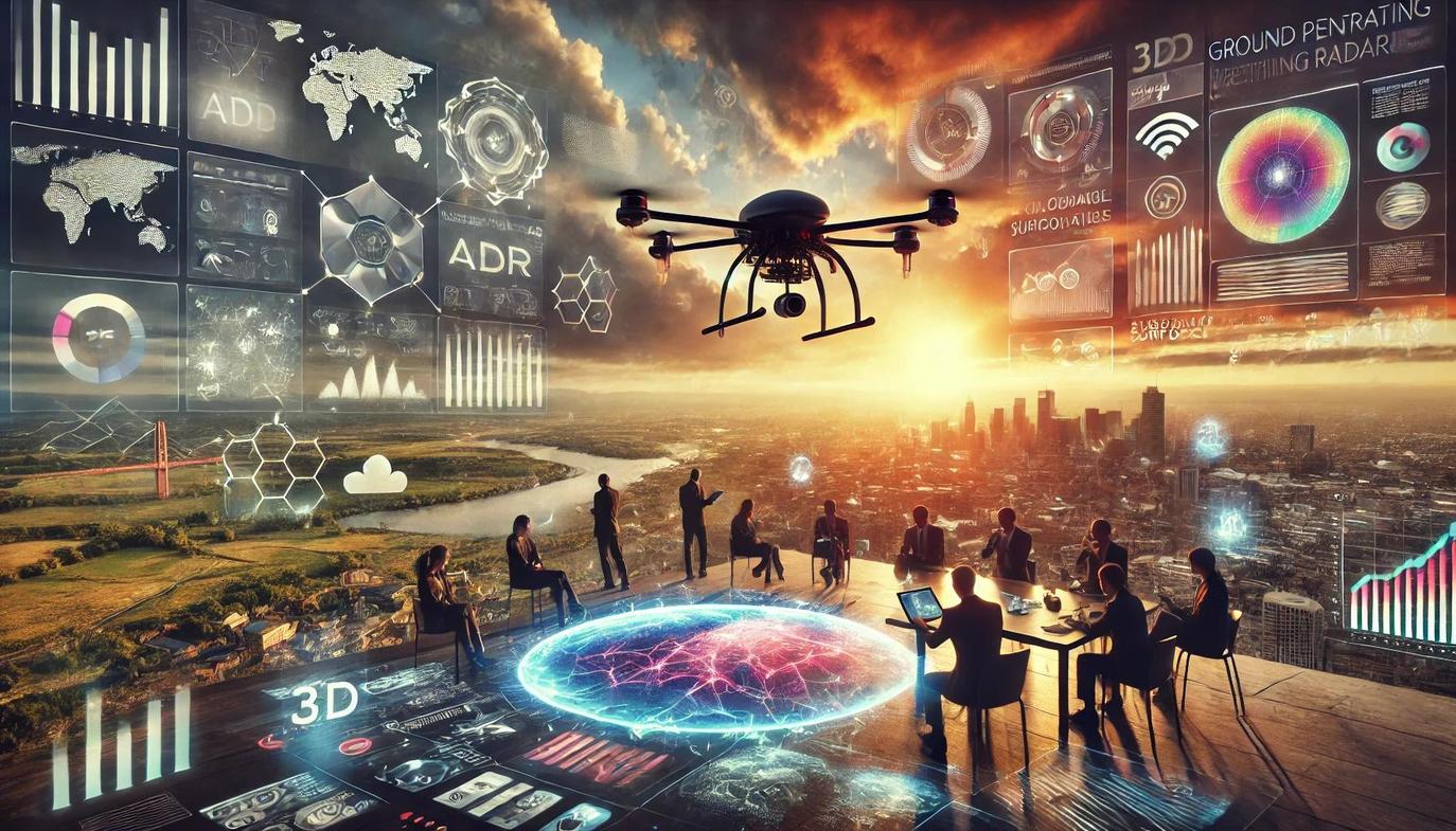
The Future of Subsurface Exploration Is Here
The evolution of Ground Penetrating Radar is a story of remarkable technological fusion. Innovations like high-resolution, multi-frequency antennas and advanced Digital Signal Processing have laid the foundation for unprecedented clarity. When combined with real-time 3D imaging and the pattern-recognition capabilities of Artificial Intelligence, modern GPR systems are transforming how we visualise the world beneath us.
From drone-mounted units surveying inaccessible terrain to cloud-connected devices offering instant data analysis, GPR is no longer just a tool for specialists—it’s an integrated solution for modern industry. As these technologies continue to advance, they will unlock even more possibilities in construction, archaeology, and environmental science, making the invisible world more visible and understandable than ever before.
Frequently Asked Questions About GPR Technology
What is the main difference between low-frequency and high-frequency GPR antennas?
Low-frequency antennas can penetrate deeper into the ground, making them ideal for large-scale geological surveys. High-frequency antennas offer higher resolution for more detailed work, such as scanning concrete or locating small, near-surface objects.
How does AI improve modern GPR systems?
Artificial Intelligence automates the interpretation of radar data by recognising the unique signal patterns of objects like pipes, voids, or foundations. This speeds up surveys, reduces human error, and helps distinguish between natural features and man-made structures.
What makes Ultra-Wideband (UWB) GPR different from traditional systems?
Unlike traditional systems that use a limited frequency range, UWB GPR transmits signals across a very wide spectrum. This allows it to achieve both deep penetration and high-resolution imaging simultaneously, making it highly effective in complex environments.


