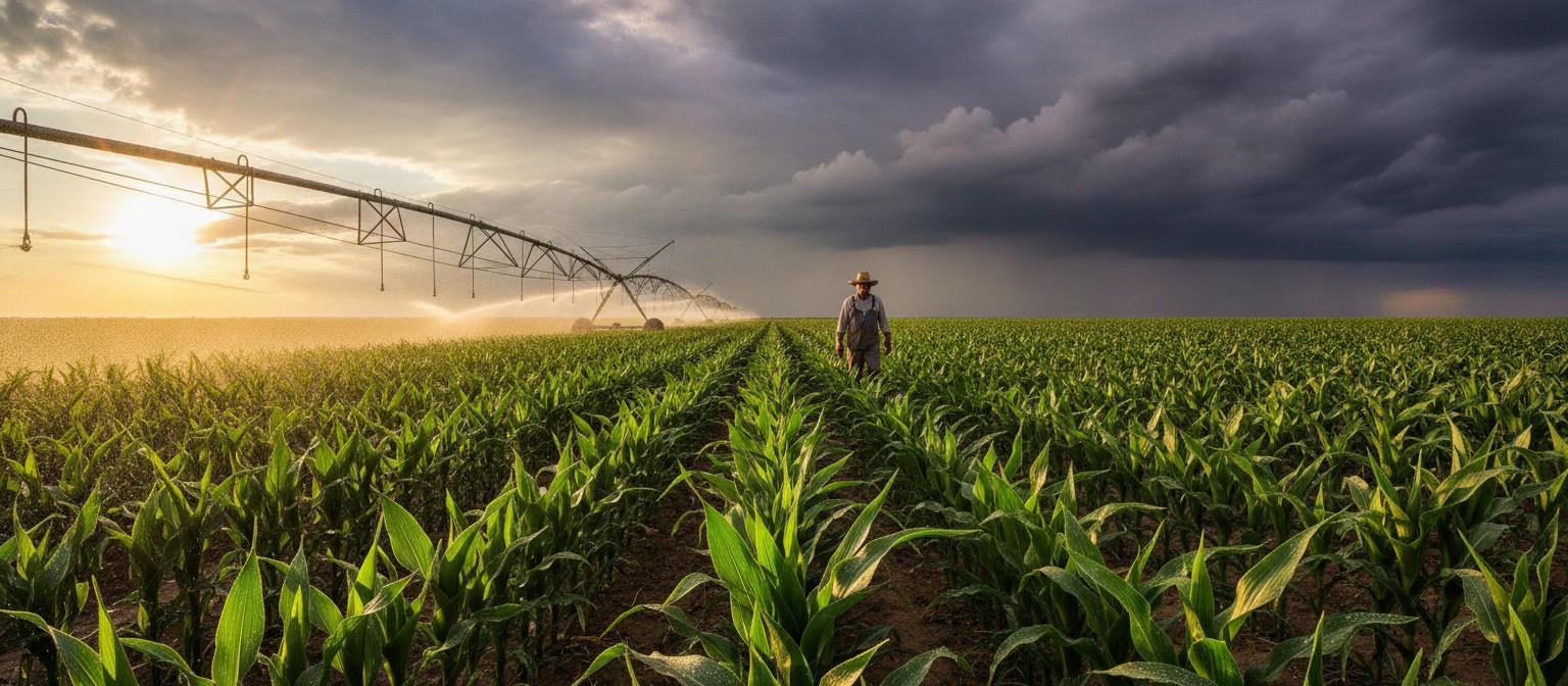
A farmer can spend weeks fine-tuning an irrigation schedule, only for an unexpected storm to do the watering. A solar installation might perform well most of the year, then struggle through an unusually cloudy season. Both situations show how easily changing weather can disrupt plans to use resources more efficiently.
Having reliable data makes a difference. Sometimes that means checking tomorrow’s forecast. Other times, it involves looking at decades of rainfall records or understanding how temperatures could change in the future. Weather and climate data APIs make this information available to the applications behind modern farming, renewable energy, and environmental planning.
To keep the word best honest, the services below were judged on the same five points: free or low-cost access for testing, depth of historical record, spatial resolution, clarity of licensing, and fit for a specific sustainability job. No single API leads on all five, so think of this as a shortlist to match to your task rather than a single winner.
How the options compare at a glance
The table below summarizes free access, history, resolution, licensing, and strongest use. Details and limitations for each service follow in the sections below.
| API | Free access | History depth | Resolution | License | Strongest use |
|---|---|---|---|---|---|
| Visual Crossing | Free trial and low-cost start tier, then paid plans | Multi-decade history plus current and forecast | Hourly and daily, location-based | Commercial plan terms | Combined history and forecast in one API |
| Open-Meteo | Free for noncommercial use with no key | From 1940 using reanalysis | About 1 km to 25 km depending on model | CC BY 4.0, attribution required | Testing and research on a budget |
| NASA POWER | Free, no key | 1981 onward plus long-term climatology | Gridded satellite and model blend, about 50 km | Open US government data | Solar screening where stations are sparse |
| Copernicus Climate Data Store | Free and open with registration and API token | 1940 onward plus projections to 2100 | Varies by dataset, regional to global | Dataset-specific open licenses | Long-term resilience and adaptation |
| OpenWeather | Free tier around 1,000 calls per day, then paid | Up to 47 plus years, depending on plan | Hyperlocal to city scale | Commercial terms: card required for One Call 3.0 | General developer default |
| NOAA NWS API and NCEI | Free | Station records over a century in parts of the US | Station points, not gridded fields | US public domain | Measured ground truth |
| Solcast | Limited evaluation use, then commercial plans | Historical time series and typical years | 90 m to 2 km for irradiance | Commercial plan terms | Project-grade solar resource and dispatch |
| Open-Meteo Climate API and World Bank CCKP | Free | 1950 to 2050 and 1950 to 2100, respectively | 10 km downscaled and 0.25 degree downscaled | CC BY 4.0 and open World Bank terms | Accessible future projections |
| Meteomatics | Trial access, then enterprise pricing | From 1940 or 1979, depending on dataset, plus scenarios to 2100 | Downscaled to 90 m | Commercial plan terms | Professional depth across 1,800 plus parameters |
| meteoblue | Free tier for noncommercial use and testing | 80-plus years plus projections | City scale for supported cities | Noncommercial and commercial terms by plan | Urban heat and city planning |
| Tomorrow.io | Free tier for testing, then paid | Up to 20 years history | Hyperlocal | Commercial plan terms | Operational forecasting and alerts |
| NREL PVWatts and NSRDB | Free with free API key | Multi-decade solar resource plus typical years | Strongest over the US and Americas | Open US government data | Free solar screening and system estimates |
1. Visual Crossing: Weather Data for Planning and Daily Decisions
A sustainability project rarely needs the same information every day. One week, a team might be studying rainfall patterns from the past decade. Next, they’re trying to work out whether an approaching storm will affect operations.
The Visual Crossing Weather API handles both situations, providing historical weather records, current conditions, and forecasts through a single service. Developers can access temperature, precipitation, wind, solar radiation, and other weather variables, with hourly and daily data available.
That combination opens up several practical possibilities. An agricultural platform could check predicted rainfall before scheduling irrigation, then compare the results with historical conditions. A solar energy operator might track radiation and temperature alongside electricity production from solar panels to better understand changes in performance.
Having different types of weather data available through one API also reduces the need to piece information together from multiple services. Responses come in JSON and CSV formats, so developers can feed the data into applications or work with it in their existing analysis tools.
There is a free starting tier for testing, with paid plans for higher volumes and commercial use. That is worth checking early, because history depth, update frequency, and allowed call volume vary by plan, and coverage and effective resolution can differ by location. For a small pilot, the entry tier is often enough, while a production irrigation or fleet service will need to budget for a paid tier.
2. Open-Meteo: An Accessible Option for Environmental Projects
Not every sustainability initiative starts with a substantial budget. A university team studying urban heat or a small nonprofit experimenting with water conservation might simply want to test an idea before committing to a paid service, as small urban garden projects often must.
Open-Meteo makes that relatively easy. Its API provides weather forecasts and historical datasets based on established meteorological models. Available measurements include precipitation, wind, solar radiation, and soil moisture. Some historical datasets extend back to 1940, giving researchers plenty of material to work with.
In urban gardens equipped with smart irrigation systems, a rain forecast can help prevent unnecessary watering. Open-Meteo could supply the forecast, while soil sensors measure conditions on the ground.
For noncommercial users, the free API does not require registration or an API key. Commercial applications need an appropriate paid plan. Data is provided under a CC BY 4.0 license, so attribution is required even when the data itself costs nothing.
There are limitations, though. Historical data comes largely from reanalysis, which blends station, aircraft, buoy, radar, and satellite observations into models to fill gaps. That makes it consistent over time, but a gridded value for a particular area will not always reflect conditions in a sheltered garden or a field surrounded by hills, a problem familiar to farmers using field sensors. For early research and smaller projects, however, Open-Meteo offers a useful starting point.
3. NASA POWER: Understanding Conditions for Renewable Energy
Choosing where to install solar panels involves more than finding somewhere sunny. A location might receive plenty of sunshine during summer but experience long periods of cloud cover in winter. Those seasonal differences can have a real effect on energy production.
NASA’s Prediction of Worldwide Energy Resources (POWER) service helps researchers examine these patterns. It provides satellite-derived and model-based information on solar radiation, temperature, humidity, rainfall, and wind.
Data is available at hourly, daily, monthly, and climatological intervals, making it possible to examine both short-term variations and longer-term conditions. Access is free without a key, and the service is designed around three user communities: renewable energy, sustainable buildings, and agroclimatology.
One particularly useful feature is its broad geographic coverage. In regions with few ground-based weather stations, researchers can still access environmental data to compare potential solar sites or investigate how seasonal temperatures affect building performance.
POWER also has applications beyond renewable energy. Agricultural researchers can use its meteorological records to study growing conditions and water availability over time.
The limitation comes down to precision. Satellite-derived and gridded estimates do not necessarily capture the conditions of a specific rooftop, field, or valley. Hourly coverage is also shorter and more limited than daily and monthly records, and the hourly endpoint is point-based. The service is therefore better suited to feasibility studies and environmental research than work needing highly localized, short-term forecasts.
4. Copernicus Climate Data Store: Preparing for Long-Term Change
Weather forecasts are useful when a city needs to prepare for heavy rain next week. They are less helpful when planners are deciding whether a drainage system built today will still be adequate thirty years from now.
That longer view matters for cities exposed to extreme heat and heavy rainfall, where infrastructure decisions need to account for conditions that may change considerably over time.
The Copernicus Climate Data Store gives researchers access to extensive climate information, including historical records, reanalysis datasets, seasonal forecasts, and future climate projections. Access to data is open and free, subject to agreeing to the relevant dataset license, and use requires free registration plus an API token for programmatic access.
Its ERA5 dataset reconstructs past atmospheric conditions using observations and weather models. Other datasets allow researchers to examine possible changes in temperature, precipitation, and related variables under different emissions scenarios.
For urban planners, this information can help identify areas vulnerable to flooding or extreme heat. It can also inform decisions about green spaces, drainage improvements, and infrastructure designed to remain useful as the climate changes.
Copernicus does require more technical knowledge than a typical weather API. Working with large scientific datasets takes some familiarity, and interpreting climate projections requires care. Data volumes can be large, requests can take time, and results depend on choosing the right dataset and scenario. Still, for projects concerned with long-term resilience, those datasets can answer questions that ordinary weather forecasts cannot.
5. OpenWeather: The Developer Default
When developers need to add weather to an app quickly, OpenWeather is often the first service they evaluate. It is widely documented, has SDKs and code samples in common languages, and covers current conditions, minute-to-daily forecasts, government alerts, air quality, and mapping layers through a familiar REST structure.
For sustainability work, the practical appeal is speed of integration. A building dashboard can show current conditions and an eight-day outlook, a logistics tool can flag heat or wind thresholds, and an irrigation helper can adjust schedules from forecast rainfall. The One Call 3.0 product bundles much of this together, with historical data reaching back 47-plus years on qualifying plans and long-range outlooks extending well beyond the standard week.
OpenWeather also offers solar-specific products covering irradiance history and panel energy estimates, which can help early-stage solar screening before moving to a specialist resource dataset.
There is a free tier of around 1,000 calls per day for getting started, which suits prototypes and low traffic tools. The trade-off is that depth of history, update frequency, and call limits are tightly plan dependent. One Call 3.0 subscription setup requires card details, and high-volume or accumulated history work moves to pay as you call. Teams should confirm which history product their plan includes before assuming full archive depth.
6. NOAA NWS API and NCEI Climate Data Online: Measured Ground Truth
Modelled and satellite-blended data is consistent, but it is still an estimate for a grid cell. When a project needs what was actually measured at a place, station observations remain the reference, and in the United States the authoritative free source is NOAA.
The National Weather Service API provides current conditions, forecasts, and alerts and requires no key, which makes it useful for civic tools, emergency messaging, and public dashboards. NOAA’s National Centers for Environmental Information, through Climate Data Online, provides access to station records, daily summaries, and climate normals, including long-running US station histories.
Both services are free. Data is US public domain, which simplifies licensing for public interest and research reuse compared with commercial terms.
The limitation is geography and form. Coverage is strongest in the United States, global station density is uneven, and station data arrives as points rather than continuous fields. A rooftop a few kilometers from the nearest station can still differ, and large-area analysis needs extra work to interpolate or join stations to gridded data. For validation, compliance records, and local calibration, however, there is no substitute for measured observations.
7. Solcast: Project Grade Solar Irradiance and PV Power
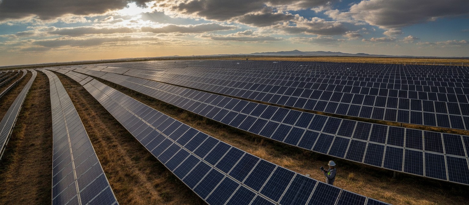
NASA POWER is useful for comparing regions, but financing, sizing, and operating a solar asset needs higher resolution irradiance with clear validation. Solcast, now part of DNV, is built specifically for that step from feasibility to forecasting to grid management.
The service provides global irradiance, weather, and PV power data as historical time series, live estimated actuals, typical meteorological years, and forecasts. Forecasts run from five minutes ahead to 14 days ahead, updated every 5 to 15 minutes, with intervals from 5 to 60 minutes. Irradiance and PV power fields are provided down to around 90 m over nonpolar land, with coarser resolution for other variables and remote ocean or polar areas.
That granularity suits utility-scale dispatch, rooftop fleet monitoring, soiling and curtailment analysis, and bankable resource work where small bias errors change revenue. Integration is via API in JSON or CSV, plus bulk transfer and web tools for larger users.
The tradeoff is cost and scope. Beyond limited evaluation use, access is commercial and plan dependent, and the depth is focused on solar rather than general weather. For an early feasibility scan, a free resource such as NASA POWER or NREL is often enough, with Solcast becoming worthwhile when a project moves toward investment or operations.
8. Accessible Future Projections Without Running a Climate Lab
Copernicus is powerful but heavy. Two lighter options make future climate data usable for small teams, and they complement rather than replace a full climate data store.
Open-Meteo Climate API
This API serves daily downscaled CMIP6 model output, bias corrected against ERA5, at around 10 km resolution. It covers 1950 to 2050 under multiple emissions scenarios, with common daily variables for temperature, precipitation, wind, cloud, and humidity. That is enough to estimate practical indicators such as days above 30 degrees, drought duration, or shifting rainfall seasonality, and to feed simple crop, pest, or water balance models.
Access is free and developer-friendly. The limitation is horizon and detail: coverage ends in 2050, time steps are daily rather than hourly, and values are model projections for validation and planning rather than observed history. For mid-century risk screening, it is often the fastest route from zero to a local projection.
World Bank Climate Change Knowledge Portal
The Climate Change Knowledge Portal is the World Bank’s climate data service for comparable country and subnational analysis. Its downscaled CMIP6 dataset is bias corrected and gridded at 0.25 degrees, covering land and ocean fields from 1950 to 2100 across scenarios from SSP1-1.9 to SSP5-8.5, available as a multi-model ensemble or individual models.
Precomputed statistics are available through API or spreadsheet download for national, subnational, watershed, and coastal zone aggregations, with global gridded NetCDF files available for bulk work. That structure suits policy teams, ESG reporting, and cross-country comparison.
The limitation is granularity. It provides aggregates and gridded projections rather than raw high-frequency station-like observations, so a city drainage study will still need downscaling or a specialist urban dataset alongside it.
9. Meteomatics: Professional Depth Across Weather, Ocean and Climate
When a project outgrows general weather APIs, the next step is usually more parameters, finer downscaling, and longer scenario coverage in one contract. Meteomatics targets that gap, combining more than 110 models with over 1,800 parameters across weather, ocean, environment, and climate, including historical data back to 1940 on key datasets, real-time observations, and climate scenarios to 2100.
Its proprietary models and 90 m downscaling are designed for hyperlocal effects where 1 km or coarser grids blur terrain, coastlines, and urban corridors. Requests are fully parameterized in a single URL structure for time, location, parameters, and format, with JSON, CSV, XML, and scientific formats, plus interfaces for mapping services. Energy, agriculture, logistics, and aviation teams use it for power output forecasting, spray windows, route risk, and asset planning.
Trial access is available for evaluation, which helps technical testing. The limitation is commercial reality: full use is enterprise priced, integration assumes developer and scientific familiarity, and choosing correctly among so many options takes expertise. For a single city pilot it can be more than needed, while for a multi-country platform it can replace several niche feeds.
10. meteoblue: Urban and Climate Data for City Decisions
Cities facing heat and heavy rain need urban-specific data, yet none of the first four entries is urban-specific. meteoblue fills that gap with climate- and city-focused products alongside its general weather APIs.
Its catalogue includes a premium weather API for high-resolution forecasts and history, a dataset API covering 80-plus years for modelling and research, a climate data API for historical climate and validated projections for risk and ESG work, and a city climate API with high-resolution urban data for resilient planning. A free weather API supports noncommercial use and development projects.
That makes it a natural fit for heat island screening, green space planning, drainage review, and site comparison across supported cities, without assembling urban fields from raw model output.

The limitation is coverage and tiers. City level datasets cover supported cities rather than every settlement, and the boundary between free testing and paid operational use needs checking before launch. Teams working outside major urban areas should verify city availability and fall back to gridded reanalysis or station observations where needed.
11. Tomorrow.io: Hyperlocal Forecasting for Operations
Some sustainability jobs are less about archives and more about the next hours: pausing irrigation before a storm, rerouting crews around lightning, managing a microgrid through a cloudy spell, or sending heat alerts. Tomorrow.io is built around that operational window, with real-time layers, hyperlocal forecasts to about 14 days, and historical data reaching back around 20 years.
Its API exposes more than 60 weather layers with JSON access and examples in common languages, which suits dashboards, automation, and agent-based workflows where thresholds trigger action. Government alerts and air quality layers extend the same feed into health and safety use.
A free tier supports testing and small builds. The limitation is that history is shorter than reanalysis archives reaching to 1940, and sustained operational use is paid and plan dependent. It works best as the action layer on top of deeper archives and projections, rather than as the sole climate record.
12. NREL PVWatts and NSRDB: Free Solar Screening for Project Planning
For US-focused solar work, there is a free middle path between global screening and commercial bankable data. The US National Renewable Energy Laboratory provides the National Solar Radiation Database and the PVWatts calculator and API for estimating energy production of grid-connected photovoltaic systems.
PVWatts takes simple inputs such as system size, tilt, azimuth, array type, and location and returns monthly, annual, or hourly production estimates. The underlying resource includes typical meteorological years and multi-decade satellite resource records. Access is free through a free signed-up key with a default rate cap, while a shared demo key allows prototyping with strict throttling.
That makes it useful for homeowners, installers, educators, and early-stage developers comparing rooftops or regions before paying for specialist data.
The limitation is scope and geography. Resource detail is strongest over the United States and the Americas, global coverage relies on coarser international inputs, and PVWatts is a simplified performance model rather than a bankable yield study, so shortlist sites with it and then move to higher resolution validation for investment decisions.
Making Weather Data Work for Sustainability
The best choice depends on what a project is trying to achieve. A smart irrigation system needs timely forecasts. Solar developers may care more about years of radiation measurements. City planners have to think about risks that could unfold over decades.
Before choosing an API, it is worth checking geographic coverage, data resolution, licensing, and how frequently information is updated. Free tiers help with testing, but check attribution rules, rate limits, and whether commercial use needs a paid plan. Local conditions matter, and even reliable models have limitations.
For related needs beyond weather itself, teams often pair these feeds with adjacent datasets such as grid carbon intensity for emissions-aware scheduling. Weather data will not solve every environmental challenge. But when it is used thoughtfully, it can help people conserve water, plan energy projects more accurately, and make decisions that hold up better when conditions change.


